TatukGIS Viewer
5.71.0.3012TatukGIS Viewer: Reliable tool for rendering high-quality maps and opening and viewing GIS and CAD files.
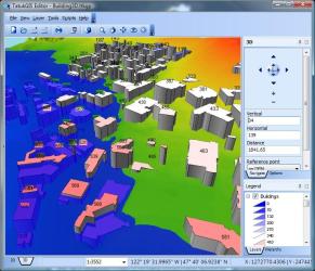
TatukGIS Viewer is a very advanced DIS mapping software that comes with plenty of support for most raster image and GIS/CAD file formats, ArcView, MapInfo, and ArcExplorer professional projects.It sports common GIS functionality and will provide users with an extensive feature set, which will enable them to include multiple vector file formats in a single project, organize, group, and prioritize layers, customize layer properties, the legend, and the map appearance by changing colors and style, add labels and adjust the transparency.
It also comes with support for a wide variety of file formats, vectors, and databases, like JPEG2000, OSM, S57, CSV, JSON, CADRG, GeoTIFF, ESR ArcSDE & Arc SDE Raster, and many more.
TatukGIS Viewer is a very advanced tool for opening and viewing GIS and CAD files, while also providing users with a comprehensive tool for rendering high-quality maps and working with GIS data.
Download Details
-
License:
Freeware
-
Platform:
Windows
- Publisher:
-
File size:
163.00 Mb
-
Updated:
Apr 10, 2024
-
User Rating:
4.0 / 5 (11 votes)
-
Editors' Review:
Not yet reviewed
-
Downloads:
882